

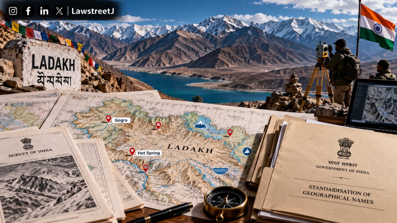
New Delhi — The Union Ministry of Home Affairs has formally standardised the names of 28 places and geographical features across the Union Territory of Ladakh, in an exercise carried out in consultation with the Ladakh administration. The standardised names will now be reflected on the official Survey of India map of the region, providing a consistent reference for these locations in government records and official documentation going forward.
What Has Been Standardised
The list of 28 standardised features spans multiple categories of terrain. It includes 11 peaks, five mountains, six land areas, two glaciers, two mountain passes, one valley, one river, one lake and one other water body.
Among the peaks given standardised names are Zorawar Peak, Kanishka Peak, Atisha Giri, Martand Giri, Rinchen Zangpo, Sakyashri Giri, Marpa Lotsawa Ri, Milarepa Kangri, Shiva Ri and Maheshwara Ri. The mountains identified in the exercise are Karun Pir, Drak Karpo and Jolmori. Chapchingal Pass and Shachmirk Pass have been designated as mountain passes, while Parpik and Skamri have been recorded as glaciers. Shkorga Valley has been formally registered as a valley.
Some of the locations included in the list carry strategic significance. Gogra and Hot Spring, both of which were among the areas associated with India-China border tensions in eastern Ladakh, are part of the standardised list. Dehra Compass, a feature located in the Aksai Chin region, which India claims in its entirety but which is under Chinese administration, is also among the 28 features now carrying a standardised Indian name.
According to the Ministry of Home Affairs, the exercise is intended to ensure consistency in the identification and recording of these locations across official maps and government records. The Survey of India, which is India's national mapping agency responsible for surveying, mapping and preparing the country's official maps, will incorporate the standardised names into its records, giving each of the 28 features a single, officially recognised reference point for future administrative, cartographic and security purposes.
The Press Information Bureau confirmed that the names would feature on the official Survey of India map of Ladakh, and that the Ministry of Home Affairs had undertaken the naming exercise specifically in consultation with the Ladakh Union Territory administration, rather than unilaterally from New Delhi.
Constitutional and Administrative Background
Ladakh's current administrative status traces back to the Jammu and Kashmir Reorganisation Act, 2019, passed by Parliament in August 2019, which bifurcated the former state of Jammu and Kashmir into two separate Union Territories, Jammu and Kashmir, and Ladakh. Ladakh became a Union Territory without a legislature, administered directly by a Lieutenant Governor appointed by the President of India under Article 239 of the Constitution, which governs the administration of Union Territories. This reorganisation followed the reading down of Article 370 of the Constitution, which had previously granted special status to the erstwhile state of Jammu and Kashmir.
As a Union Territory without a legislature, matters pertaining to Ladakh's administration, including exercises such as the standardisation of geographical names in consultation with the Survey of India, fall substantially within the domain of the Union Government, acting through the Ministry of Home Affairs, in coordination with the Lieutenant Governor-led Union Territory administration. This is distinct from the position in Indian states, where naming of local geographical features would ordinarily involve a greater degree of elected state government involvement.
The Survey of India functions under the Department of Science and Technology, Ministry of Science and Technology, and is the oldest scientific department of the Government of India, established in 1767. It serves as India's principal mapping agency and is tasked with surveying, mapping and charting the country's territory, as well as maintaining geodetic and cartographic standards for official government use. Inclusion of a standardised name in Survey of India records carries practical legal and administrative significance, as these maps form the basis for revenue records, boundary demarcation, infrastructure planning and, in border areas, defence and security documentation.
Context of India-China Border Dynamics
The standardisation exercise comes against the backdrop of a broader, ongoing naming dispute between India and China along their shared, largely undemarcated border. China has, since 2017, undertaken a series of exercises assigning Mandarin names to locations in Arunachal Pradesh, which India administers as a full state and which China claims in part as "South Tibet." China's Ministry of Civil Affairs released its first batch of six "standardised" names in Arunachal Pradesh in 2017, and has periodically issued further batches since. According to reports, China unveiled its sixth batch of 23 such names in April 2026.
India has consistently rejected China's renaming exercises. The Ministry of External Affairs has previously stated that Arunachal Pradesh is an integral and inalienable part of India, and that the assigning of invented names does not alter this reality.
India's own standardisation of the 28 Ladakh features, including locations in the disputed Aksai Chin region and areas near the Line of Actual Control such as Gogra and Hot Spring, falls within this broader pattern of both countries formalising official nomenclature over contested or sensitive border areas as part of their respective territorial positions.
India does not have a single comprehensive central statute exclusively governing the naming of geographical features, but the process operates through a combination of administrative authority vested in the Ministry of Home Affairs and the Survey of India's statutory mapping functions. Changes to place names, including those with security or strategic implications in border regions, are typically routed through inter-ministerial consultation involving the Ministry of Home Affairs, the Ministry of External Affairs and the Ministry of Defence, given the overlapping administrative, diplomatic and security considerations involved in areas close to international boundaries.
Internationally, India is a member of the United Nations Group of Experts on Geographical Names, which promotes the standardisation of geographical names at the national level as a means of ensuring consistency in international cartography, trade, transport and communication. National-level standardisation exercises of the kind undertaken in Ladakh are consistent with this broader international framework, under which countries are encouraged to maintain authoritative, officially sanctioned registers of place names within their own territory.

![Only Central Govt empowered to undertake census, Centre tells Supreme Court [Read Affidavit]](/secure/uploads/2023/08/lj_7449_9c75a532-6157-429f-be90-4805dbb8a2ee.jpg)