

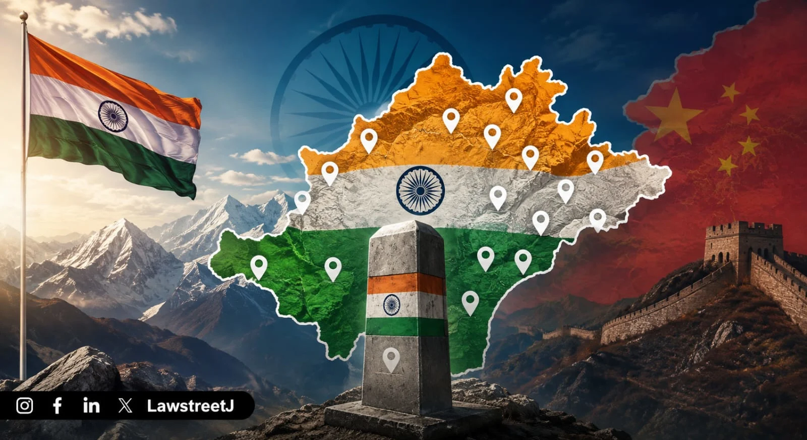
NEW DELHI — India has moved to formally establish the official standard names of 27 geographical features in Arunachal Pradesh on the Survey of India's official map of the state, in a pointed and deliberate counter to China's sustained campaign of renaming Indian territory using Chinese and Tibetan nomenclature. The decision, announced on August 7, formalises what has been India's consistent political and legal position on the ground, that Arunachal Pradesh is, and has always been, an integral part of India and translates that position into a cartographic and administrative act.
India has officially assigned standard names to 27 geographical features and locations in Arunachal Pradesh along the Line of Actual Control, in a move seen as a direct response to China's repeated attempts to rename places within the state.
"Identifying them formally on the Survey of India map of Arunachal Pradesh is aimed at facilitating their accurate recognition and better awareness among the public at large," an official statement said.
The 27 locations formally marked on the official map include some of the most historically and strategically significant sites along India's eastern frontier. Among the locations is Long Ju, situated along the Line of Actual Control, which was one of the earliest flashpoints between Indian and Chinese forces. One of the most strategically important high altitude passes, Thag La, where one of the opening battles between Indian and Chinese forces took place in 1962, has also been formally named.
A Campaign That Has Been Building for Nearly a Decade
China's exercise of assigning its own names to places in Arunachal Pradesh is not a recent phenomenon. It is a deliberate, incremental, and systematically executed policy that Beijing has been pursuing since 2017, and which has escalated in both frequency and scale with each passing year.
The Ministry of Civil Affairs of the Chinese Government has since April 2017 "standardised" the names of as many as 32 places in Arunachal Pradesh in Mandarin and Tibetan languages. China claims nearly 90,000 square kilometres of area in Arunachal Pradesh of India and calls it Zangnan or South Tibet. New Delhi, however, rejects China's claim and says that the entire state of Arunachal Pradesh is an integral part of India.
The progression of China's renaming exercises tells a clear story. China had first renamed six places in Arunachal Pradesh of India in Mandarin and Tibetan in April 2017, seen as retaliation against the Dalai Lama's visit to the state. It then renamed 15 more places in December 2021. Further batches followed in 2023 and 2024.
In April 2026, China's Ministry of Civil Affairs issued a notification renaming 23 locations, including rivers, mountains and towns in Arunachal Pradesh. India strongly objected to the move, calling it an attempt to create a false narrative. That April 2026 batch, the fifth such exercise included 15 mountains, five residential areas, four mountain passes, two rivers and a lake. Each of those features already has an established Indian name, used locally, administratively, and historically.
China's act of renaming places in Arunachal Pradesh has always been categorically rejected by New Delhi, which has consistently termed such moves "vain and preposterous" while asserting that these will not alter the "undeniable" reality that the state "was, is, and will" always remain an integral part of India.
Why Tawang Sits at the Heart of the Dispute
Tawang, the westernmost town of the frontier state, is at the core of the dispute. The town located at an altitude of 10,000 feet has the Gaden Namgyal Lhatse monastery, which was built on the instruction from the 5th Dalai Lama in the 17th century.
Tawang's religious significance makes it a particularly sensitive element of the India-China territorial dispute. For Tibetan Buddhism, Tawang is one of the most important monastic centres outside Tibet itself. China's claim over Arunachal Pradesh, framed through the lens of "South Tibet", rests in part on the argument that the region's historical and religious connections to Tibet support Beijing's territorial position. India's counter-argument is rooted in the McMahon Line agreed upon in the Simla Convention of 1914, which established the boundary between British India and Tibet, and which India has consistently maintained as the legitimate international boundary.
The 1962 Sino-Indian War, in which Thag La Pass was one of the first battlefields, remains the foundational historical trauma of the India-China border dispute. The formal naming of Thag La in India's Survey of India map is therefore not just a cartographic act, it is an act of historical acknowledgement, placing on the official Indian record a site where Indian soldiers fought and died over ground that China has since tried to claim under a different name.
India's Formal and Diplomatic Response
India's response to China's renaming campaign has been consistent in its language and unequivocal in its position. MEA spokesperson Randhir Jaiswal said such actions could not change the reality that Arunachal Pradesh "was, is and will always remain an integral and inalienable part of India."
China's move to rename places in Arunachal Pradesh has always been categorically rejected by New Delhi, which has consistently termed such moves "vain and preposterous" while asserting these will not alter the "undeniable" reality that the state was, is, and will always remain an integral part of India.
India's August 7 formal naming exercise extends that rejection from the domain of diplomatic statements into the domain of official cartographic documentation. By placing the standard Indian names of 27 features onto the Survey of India's official map, India is creating an administrative and legal record that reinforces its territorial position in the same medium, mapping that China has been using to advance its own claims.
The Survey of India is the country's oldest scientific department, established in 1767, and its maps carry official legal weight in Indian administrative and legal proceedings. Having the 27 features formally documented in Survey of India records means that any ambiguity in their official designation, the kind of ambiguity that China's repeated renaming exercises are designed to create in international perception is now formally closed at India's end.
The Broader Strategic Pattern
India's formal naming of 27 locations in Arunachal Pradesh is one of several measures India has been taking along its eastern frontier in recent years to reinforce its presence and its administrative and cultural claim over the state.
India has opposed similar Chinese renaming exercises carried out in 2017, 2021, 2023 and 2024. Each rejection has been accompanied by diplomatic statements. The August 7 action is notable because it goes beyond a diplomatic rejection, it is an affirmative act, not just a defensive one. Rather than only saying that China's names are false, India has now formally published what it says the correct names are.
The India-China relationship has been in a cautious thaw since the military disengagement at several friction points along the LAC, formalised over the past year. Border trade through Nathu La and Shipki La resumed as recently as August 1. But the Arunachal Pradesh territorial dispute has not been part of that thaw. China's renaming exercise in April 2026, the largest in terms of the number of features renamed in a single batch and India's August 7 formal naming response make clear that on the eastern front, the two countries' positions remain as far apart as they have ever been.
China's official position frames the renaming of places in what it calls "Zangnan" as a normal sovereign act, the standardisation of place names within what it regards as its own territory. India's position frames the same act as a deliberate attempt to manufacture a territorial claim through cartographic fiction. Those two positions are, structurally, irreconcilable and the Survey of India's updated map of Arunachal Pradesh, with 27 formally named features, is India's most recent formal statement of where it stands.