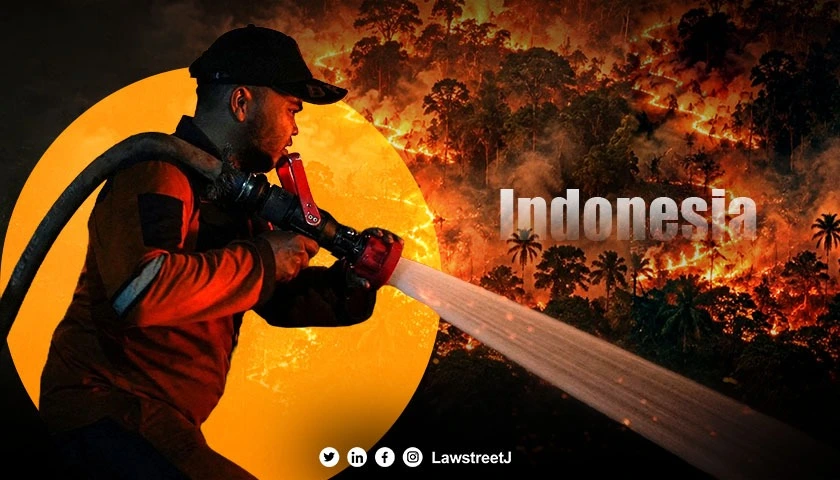
JAKARTA: Indonesia's fires have generated nearly 200 million metric tonnes of carbon emissions by November 15, 2026, making this year's fire-related emissions the third-highest on record, according to the European Union's Copernicus Atmosphere Monitoring Service (CAMS).
The figures highlight the growing environmental impact of fires across the Indonesian archipelago, where agricultural burning, land clearance and peatland fires have contributed to significant greenhouse gas emissions. The latest assessment places 2026 among Indonesia's most severe fire-emission years in the historical monitoring record.
Nearly 8.9 Million Hectares Potentially Affected
The scale of the disaster is also reflected in the estimated land area affected by fires. According to CAMS data cited by Reuters, nearly 8.9 million hectares (approximately 22 million acres) of land could have been damaged by fires in Indonesia during 2026.
This represents around 4.7% of Indonesia's total land area, significantly above the average of 1.9% recorded between 2012 and 2025.
The estimate is substantially higher than the 2.9 million hectares reported by geomonitoring platform Nusantara Atlas for January to October. The difference reflects the use of different monitoring methods and estimates, rather than a directly comparable measurement.
The fires have particularly affected Kalimantan, the Indonesian portion of Borneo, as well as parts of Sumatra and Papua. West Kalimantan recorded its highest cumulative fire emissions for the corresponding period since the CAMS dataset began in 2003. Central Kalimantan and Papua also recorded emissions approaching their previous highs, while Sumatra experienced above-average fire activity.
El Niño and Climate Change Intensify Fire Conditions
Scientists have identified a combination of climatic and human-related factors behind the exceptional fire season. Strong El Niño conditions have contributed to prolonged dry weather, reduced rainfall and elevated temperatures across Southeast Asia. These conditions make vegetation more vulnerable to ignition and allow existing fires to spread more easily.
Climate change has further intensified the risk by contributing to higher temperatures and extreme heat conditions. However, weather conditions alone do not explain the scale of the destruction. Land-use practices and poor land management have also increased Indonesia's vulnerability. One major concern is the drainage of peatlands to make space for agricultural activities, including palm oil and pulpwood plantations.
Peatlands are important carbon-storage ecosystems. When drained, they become highly susceptible to fires. Unlike ordinary surface fires, peat fires can burn underground for extended periods, releasing substantial quantities of carbon and smoke.
According to Copernicus, the combination of prolonged drought, high temperatures and vulnerable peatland ecosystems has contributed to this year's exceptional fire activity.
Toxic Haze Spreads Beyond Indonesia
The environmental consequences have extended beyond the areas directly affected by the fires.
Copernicus reported persistent episodes of extremely poor air quality across Kalimantan and Sumatra, with smoke and haze also affecting neighbouring countries, including Singapore and Malaysia. Singapore experienced one of its worst haze episodes in years, with significant public-health consequences and economic costs estimated in the billions of dollars.
The Centre for Research on Energy and Clean Air (CREA), cited by Copernicus, estimated that smoke from the fires had contributed to more than 5,250 deaths and approximately 400,000 respiratory infections in Indonesia. These estimates underline the public-health dimension of the crisis, which extends beyond the immediate destruction of forests and vegetation.
Fine particulate matter, particularly PM2.5, is a major concern because these microscopic particles can penetrate deep into the respiratory system.
The smoke has also affected wildlife, damaged ecosystems and disrupted regional economic activity.
2026 Fire Season Raises Concerns Over Indonesia's Climate Commitments
The scale of this year's emissions presents another challenge for Indonesia's environmental and climate objectives. The estimated fire emissions by November 15 were equivalent to more than one-fifth of Indonesia's energy and industrial carbon footprint in 2025, which was estimated at approximately 960 million tonnes of carbon dioxide.
The comparison demonstrates the substantial contribution that uncontrolled landscape fires can make to a country's overall emissions.
Indonesia has undertaken efforts to reduce the frequency and intensity of seasonal fires, including cooperation with other ASEAN countries. However, the 2026 figures demonstrate the continuing vulnerability of its forests and peatlands to extreme dry conditions and land-use pressures. The latest Copernicus assessment also highlights the importance of early fire detection, peatland restoration, improved land management and regional cooperation to control transboundary haze.
With nearly 200 million metric tonnes of carbon emissions recorded by November 15, Indonesia's 2026 fire season has already become one of the three most significant in the Copernicus historical record dating back to 2003.
Although the final annual figure may change as the year progresses, the scale of the damage and the spread of toxic haze have made the crisis a major environmental concern for Southeast Asia.